Directions
Getting to the Centre of Elgin
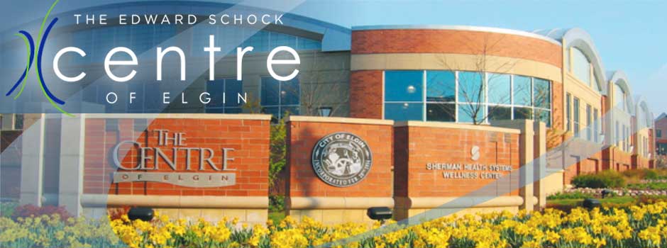
The Centre is centrally located on a six-acre parcel in the heart of Elgin’s business district, bordered by Kimball, Douglas, North Grove Streets, and Symphony Way. Centrally located, residents can reach The Centre within 10 minutes from all city borders.
View the Area Map.
From the North
Exit I-90 at Route 31 south. Take Route 31 south to Kimball Street. Turn left (East) and cross over the bridge. Turn right onto North Grove Ave. The Centre is located on your left.
From the South
Take Lake Street / Route 20 to Route 31. Follow Route 31 north to Kimball. Turn right (East) and cross over the bridge. Turn right onto North Grove Ave. The Centre is located on your left.
From the East
Take I-90 west to Illinois Route 25 south. Follow Route 25 to the split and continue on Dundee Avenue to Kimball Street. Take Kimball Street west (right turn) into the downtown Elgin City Center area. Turn left on Douglas Ave. The Centre is located on your right.
From the West
Take I-90 east to Illinois Route 31. Take Route 31 south to Kimball Street. Turn left (East) on Kimball Street, crossing over the bridge. Turn right onto North Grove Ave. The Centre is on your left.
Public Transit
The Centre of Elgin is located within walking distance of Elgin’s National Street Metra train station on the Milwaukee West railway line. The line carries passengers between Union Station in Chicago to the east and Elgin’s Big Timber Road station to the west. PACE also provides bus service throughout Elgin.
Parking
The Centre of Elgin is served by a four-story parking deck that will also serve other downtown businesses, the Hemmens Cultural Center, and City Hall. The parking deck is open for use and is located at Douglas and Symphony Way.